Weiwei Duan

PhD student in Computer Science and Spatial Sciences
Computer Sciecen, University of Southern California
Email address: weiweidu@usc.edu

msaenet-icon

Exploiting Context in Cartographic Evolutionary Documents to Extract and Build Linked Spatial-temporal Datasets

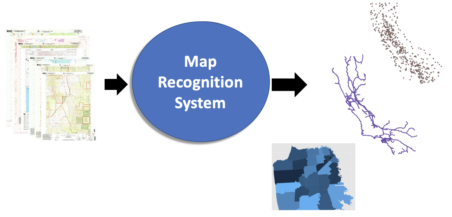
Geographic Objects Detection
Generative models · Transformer · Deep Learning · GIS · Tensorflow · Pytorch · Keras
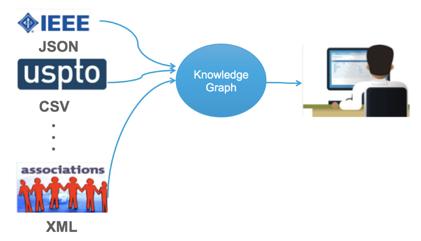
  • Develop an alignment algorithm to label objects in georeferenced images using existing data and overcome training data sparsity for object detection, achieved 10% higher precision than SOTA baselines
  • Build weakly supervised generative models to detect objects in topographic map images and satellite imagery with limited annotations, reduced required manual labeled data from hundreds to one sample.
  • Build a Transformer-based graph detector to accurately extract polylines in topographic map images, won the first place of the DARPA competition

  • Modeling, Integrating, and Search Across Multiple Geographic Features from a Variety of Geospatial Sources

    Data Integration
    Semantic Web · Knowledge Graph · ElasticSearch · Postgres/PostGIS

  • Build a geo-temporal ontology to integrate multiple online data sources
  • Build a predictive analysis workflow which enables easily switch among machine learning models by using knowl-edge graphs